A fisherman bears witness to WHOI’s alkalinity experiment in the Gulf of Maine
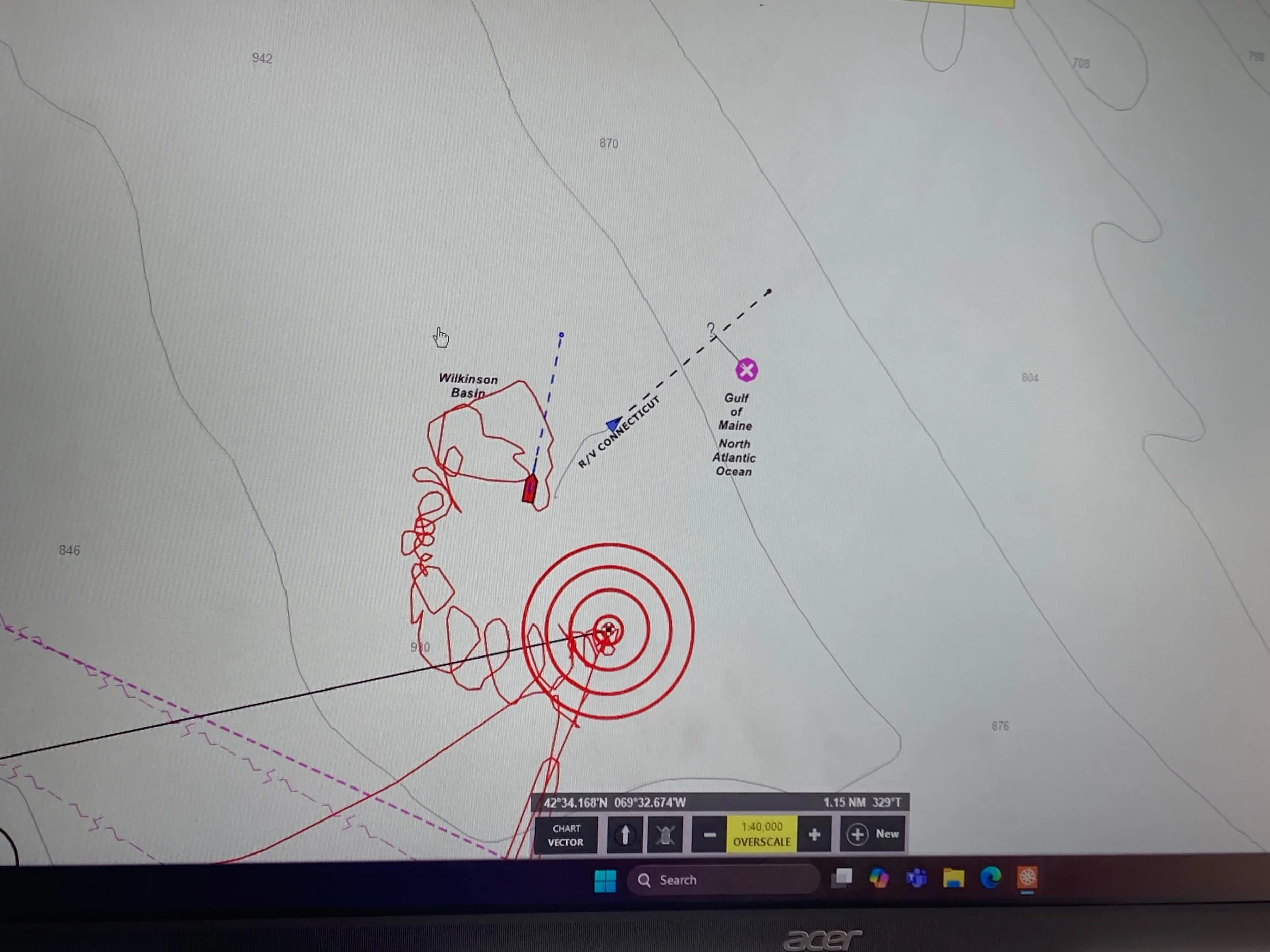
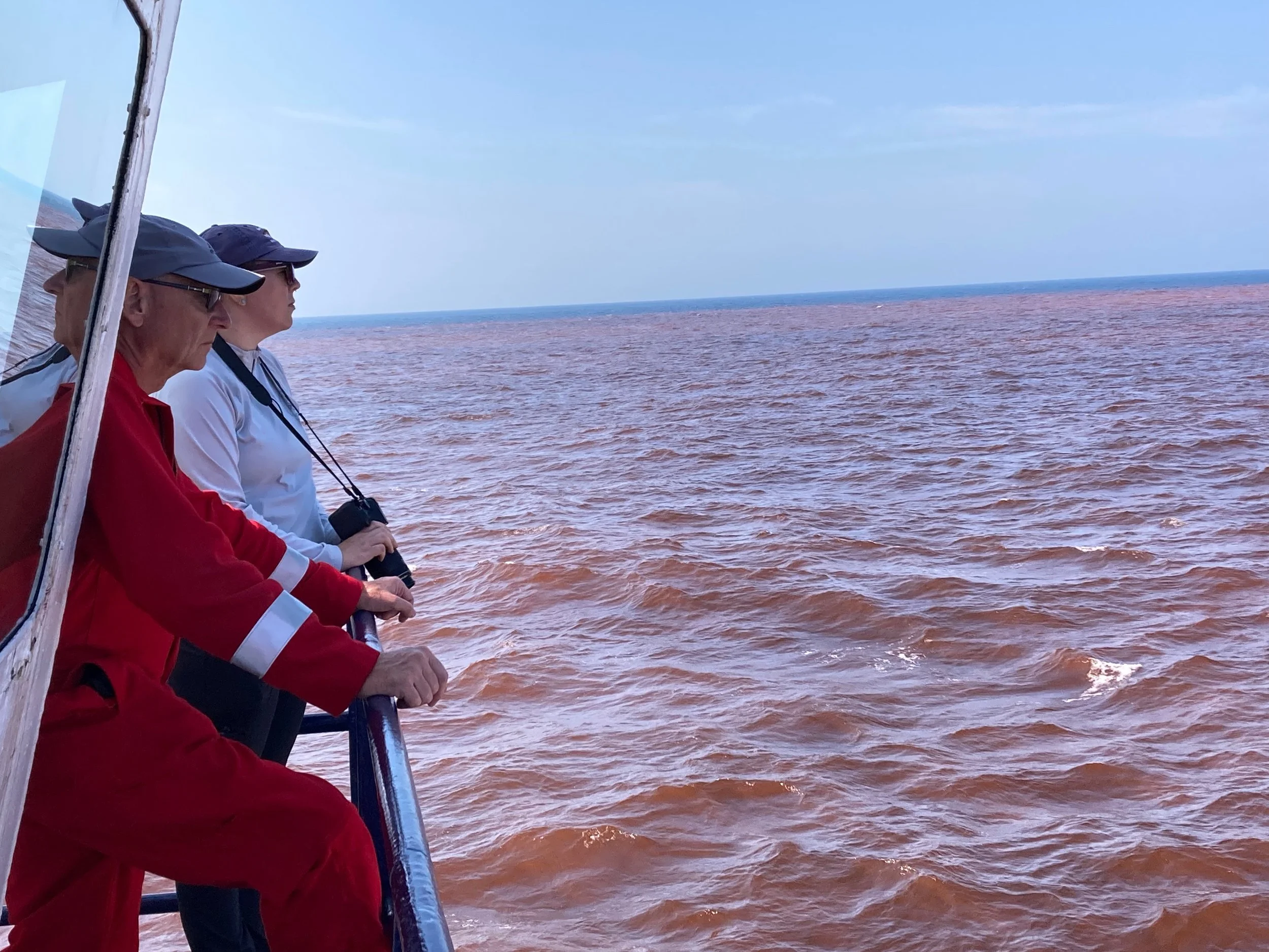
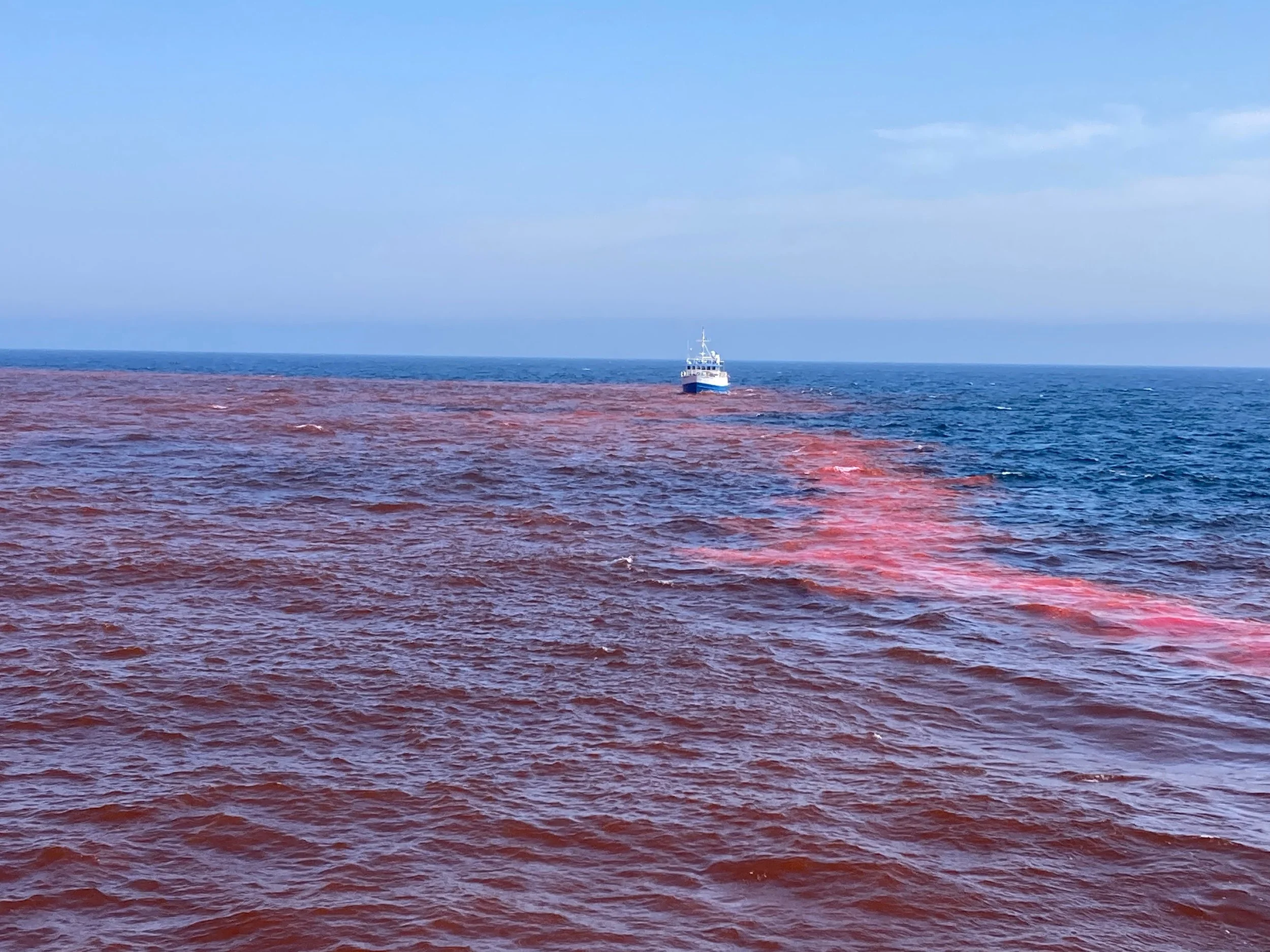
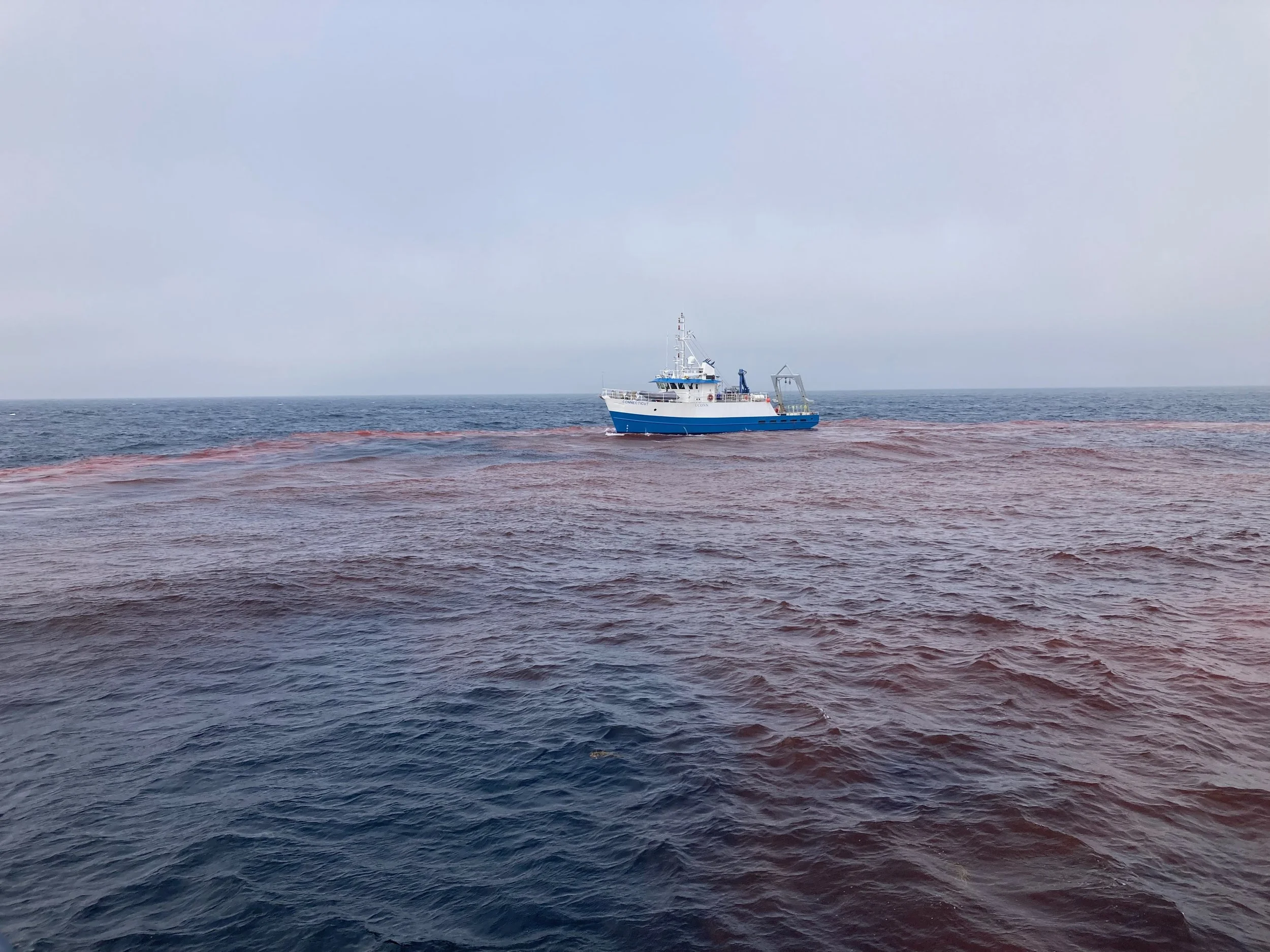
The R/V Connecticut collects data in the alkaline patch created by the OSV Mahoney’s disperal of rhodamine-dyed sodium hydroxide on August 13.
By Sarah Schumann
August 19, 2025 — “So, you’re going on an acid trip?” asked my captain, Dean Pesante, as we threw lines aboard the gillnetter F/V Oceana and prepared to head through the Point Judith Harbor of Refuge and into Rhode Island Sound to haul our gear one late July morning.
Acid trip? It took me a moment to catch his drift. Then I remembered: the afternoon before, I had looped him in on a group text as I tried to find a fill-in deckhand for the date of August 13, when I hoped to join a team from the Woods Hole Oceanographic Institute (WHOI) as a fishing industry observer for their “Locking Ocean Carbon in the Northeast Shelf and Slope" (LOC-NESS) research cruise.
“Actually, it’s an alkalinity trip,” I replied. “It may not expand my consciousness. But it could make a valuable contribution to the climate toolkit.”
The purpose of the planned “alkalinity trip” was to release 16,500 gallons of highly alkaline sodium hydroxide solution into the surface waters of Wilkinson’s Basin in the Gulf of Maine, and then activate a miscellany of scientific instruments – autonomous underwater gliders, aerial drones, all manner of sensors, and plankton sampling equipment – to understand the physical, chemical, and biological effects of this release.
A project like this had never been attempted before, and its novelty has made it a headline issue in New England during the last year. Some community members learning about the project for the first time were flummoxed by the prospect of scientists dumping caustic chemicals into our beloved ocean wilderness. The motives for this project, however, are well-intentioned, and they relate to the ocean chemical property at the center of my banter with Dean that morning: pH.
The world’s oceans have absorbed about 30% of the excess carbon dioxide (CO2) gas emitted by humans since the Industrial Revolution, and their waters have become more acidic in the process, negatively affecting calcifying organisms such as shellfish and zooplankton. Meanwhile, global warming caused by rising concentrations of CO2 and other gases in the atmosphere is melting glaciers, strengthening storms, intensifying droughts and heatwaves, and unleashing major changes to forests, farms, fisheries, and the humans who depend on them. These are the problems that the WHOI science team, and others like them around the world, are trying to help solve.
Scientists think that that by adding alkalinity to seawater – a practice known as Ocean Alkalinity Enhancement, or OAE – humans may be able to coax the ocean into removing and storing more carbon safely in the sea, by converting dissolved CO2 gas to a naturally occurring molecule called sodium bicarbonate. This form of marine carbon dioxide removal (mCDR) could have an added benefit of restoring the pH of local seawater, boosting the survival of shelled marine organisms and the food webs and fisheries that depend on them.
Although these chemical reactions appear straightforward on paper, the WHOI team, led by Dr. Adam Subhas, aimed to go beyond a theoretical analysis. They wanted to put these relationships to test in the real world through an at-sea field trial, designed to be small enough to avoid ecological harm but large enough to yield meaningful scientific information for understanding the potential contribution of OAE to carbon removal. They spent several years developing a research plan, assembling funding, securing an EPA permit, coordinating community information exchanges, chartering research vessels, and sourcing the required chemicals from around the world, all to answer the questions: If we add alkalinity to ocean water, how measurable are the indicators of carbon removal? And what impacts will occur to the surrounding ecosystem and sea life?
After all this prep work, they had a lot riding on the August 13 field trial event. And once I’d secured my fill-in deckhand, I had the opportunity to go along as a fishing industry observer and witness the event up close.
Getting into position
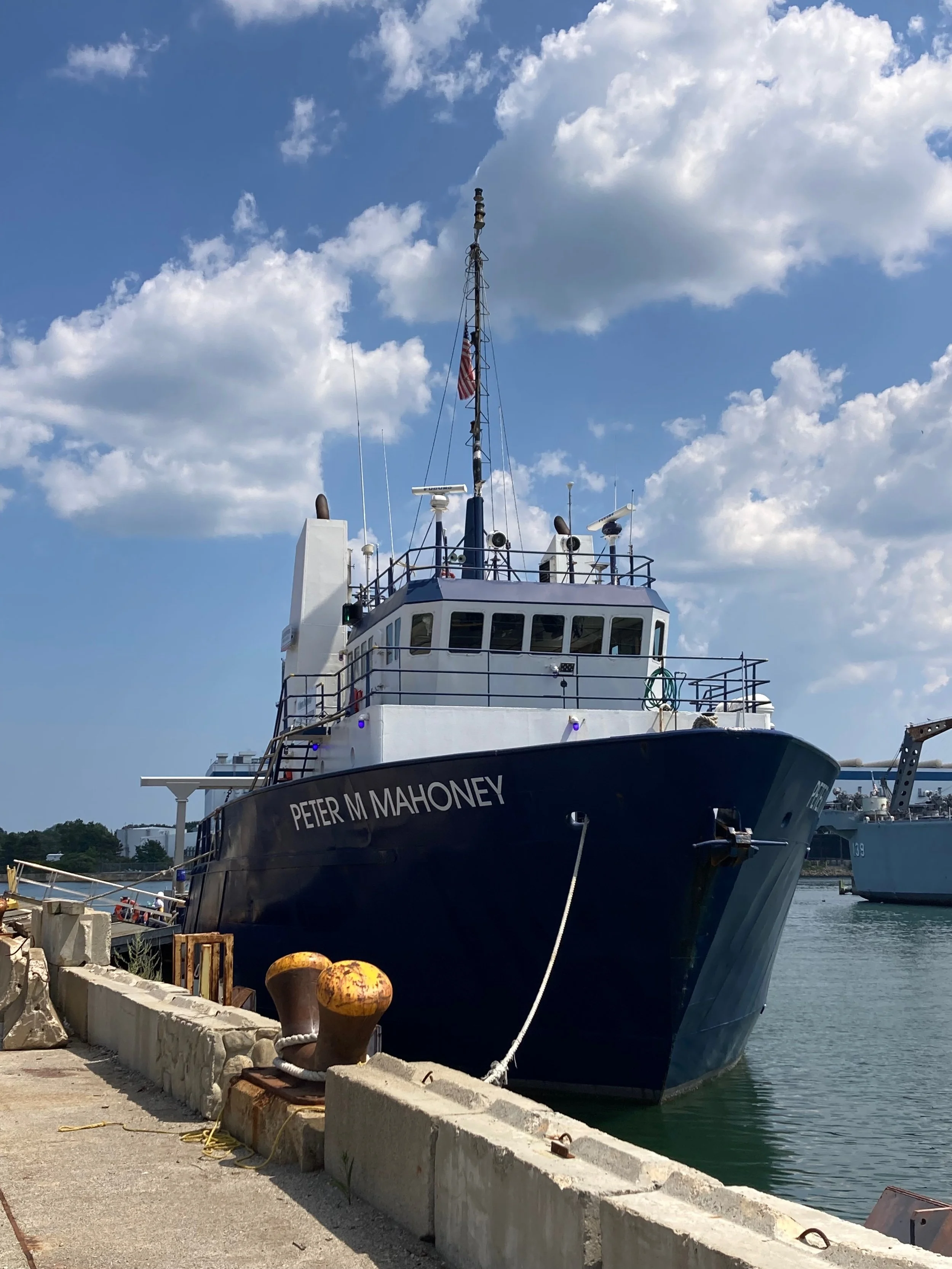
On the evening of August 12, the Offshore Supply Vessel (OSV) Peter M. Mahoney departed the shipyard in Quincy, Massachusetts and began to steam 70 nautical miles eastward to the Wilkinson’s Basin in the Gulf of Maine. After a hearty meal of mac and cheese prepared by the ship’s cook Shane, I read in my bunk until sleep carried me off.
Sharing my stateroom were the three other women on board: an EPA employee who was present to ensure that the project met the conditions of the permit issued under the Marine Protection, Research, and Sanctuaries Act; and two protected species observers to monitor for marine mammals and halt the experiment temporarily if any North Atlantic right whales appeared within 500 yards of the ship. Also on board were the crew of the ship, employed by Goodwin Marine Services; three marine engineers from WHOI; and a team from the global chemical logistics company Fluechem, who traveled from the UK to supervise the handling of the sodium hydroxide.
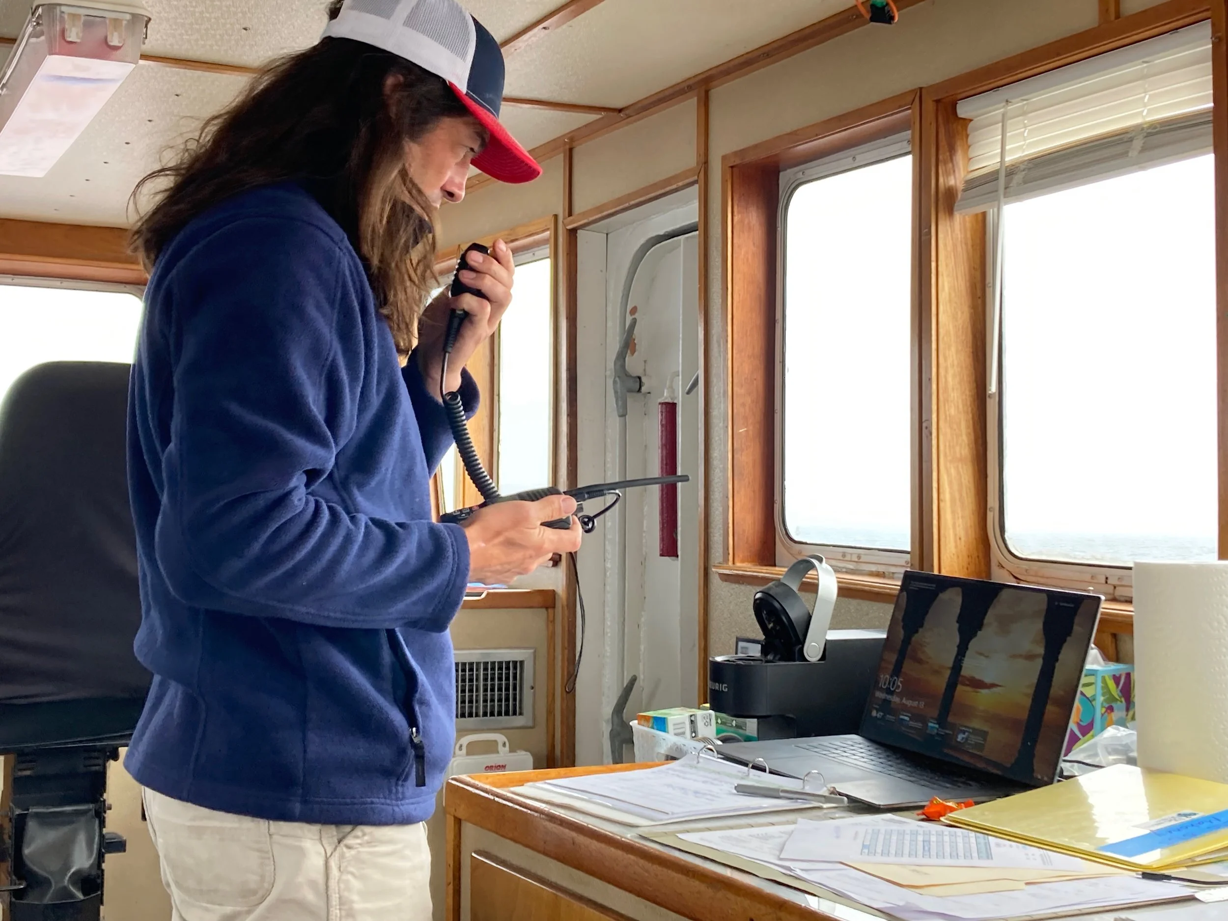
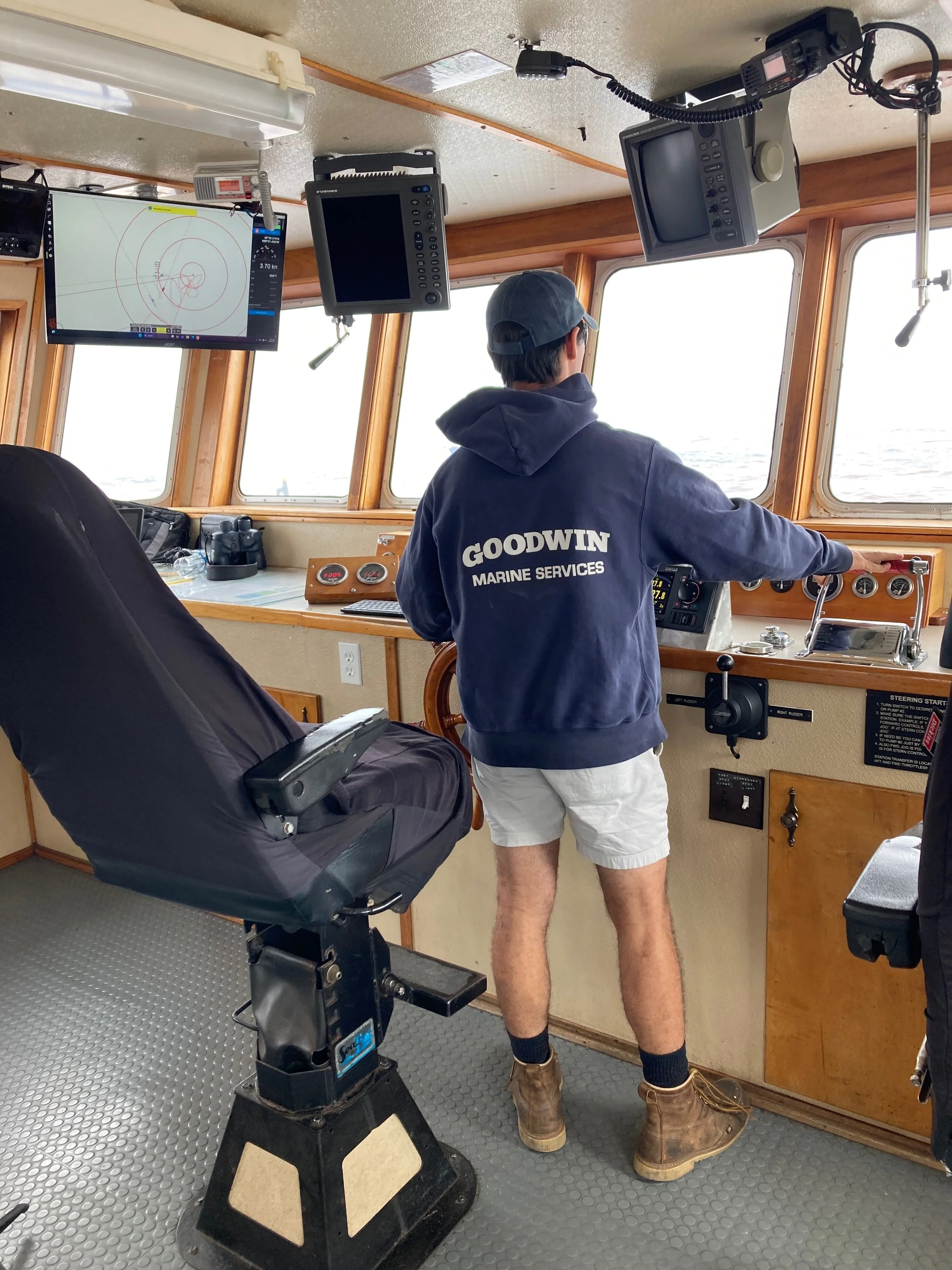
At 8:00 am on the morning of the 13th, we jogged in place at the designated dispersal side (near 42°32’33”N, 69°31’15”W). All personnel aboard – except the Mahoney’s night crew, who were catching some winks after the nighttime transit — began to assume their positions. In the bridge, ship captain Justin Goodwin took his post at the helm, while WHOI’s lead engineer Tom Lanagan set up a table with his laptop, radio, and cellphone for communicating with the research vessel R/V Connecticut, which was arriving on the scene from Woods Hole with a team of scientists and their technical instruments on board.
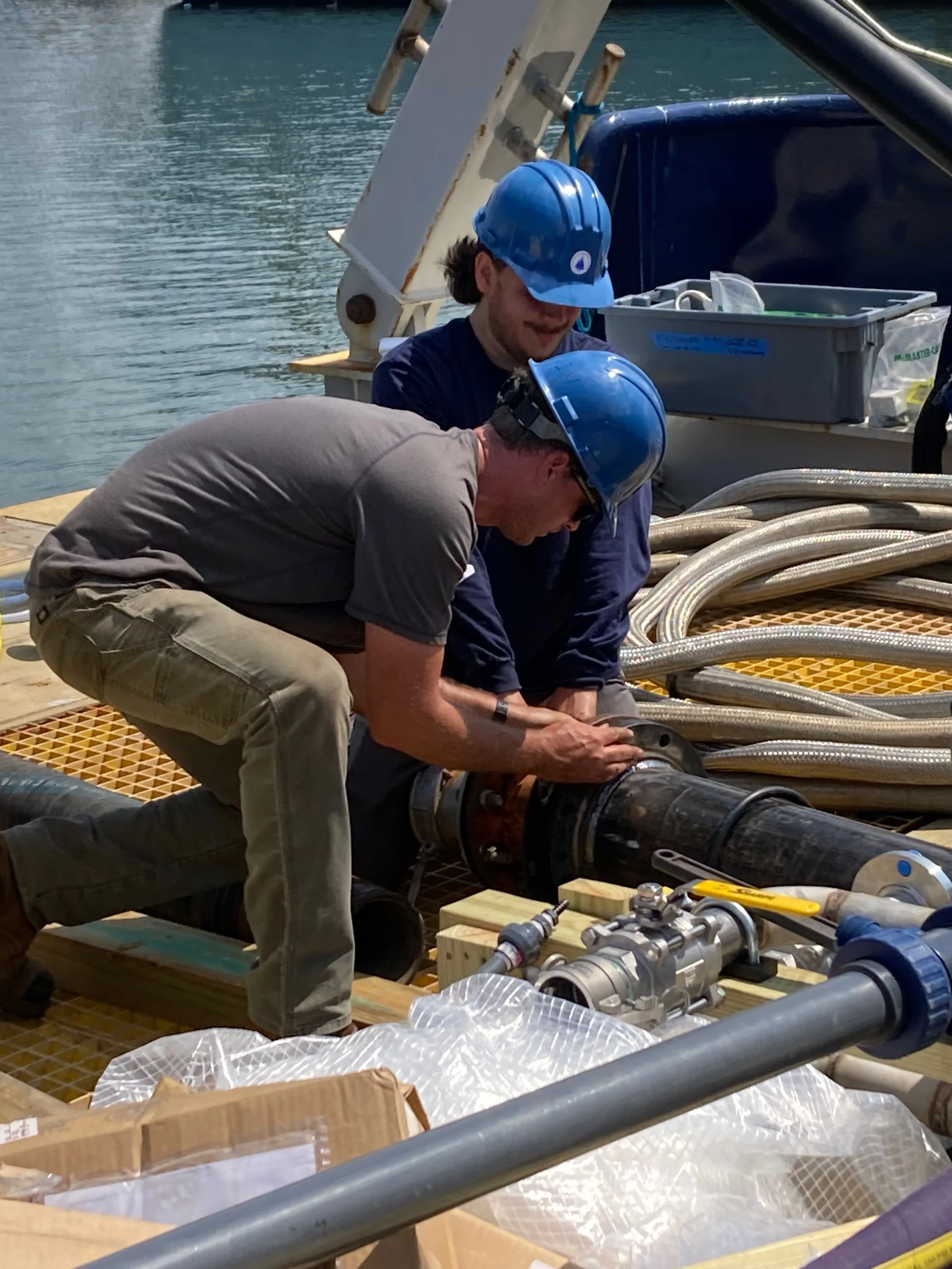
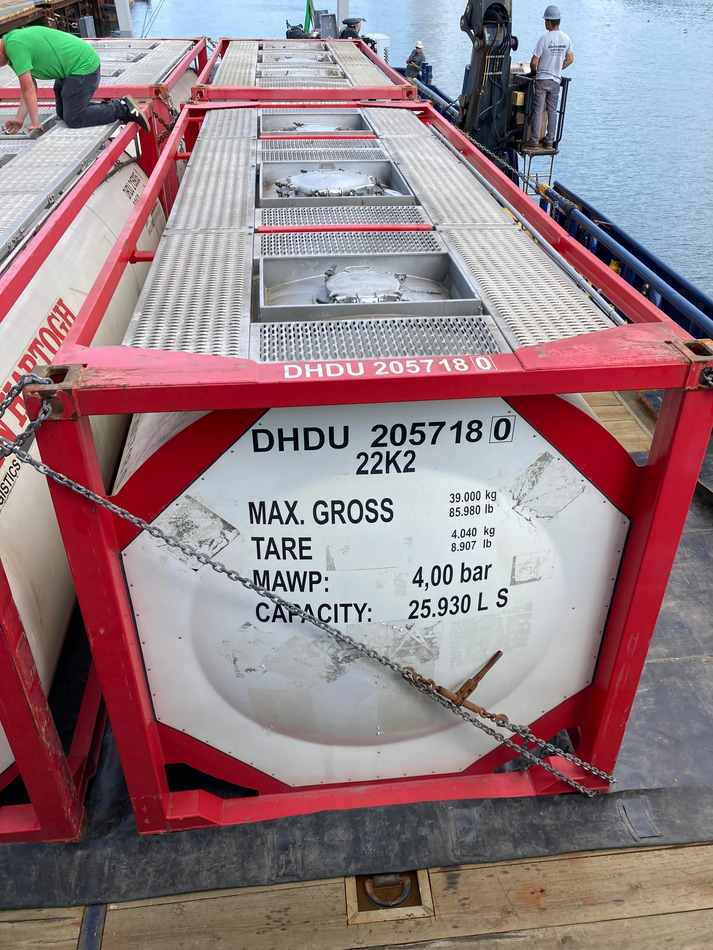
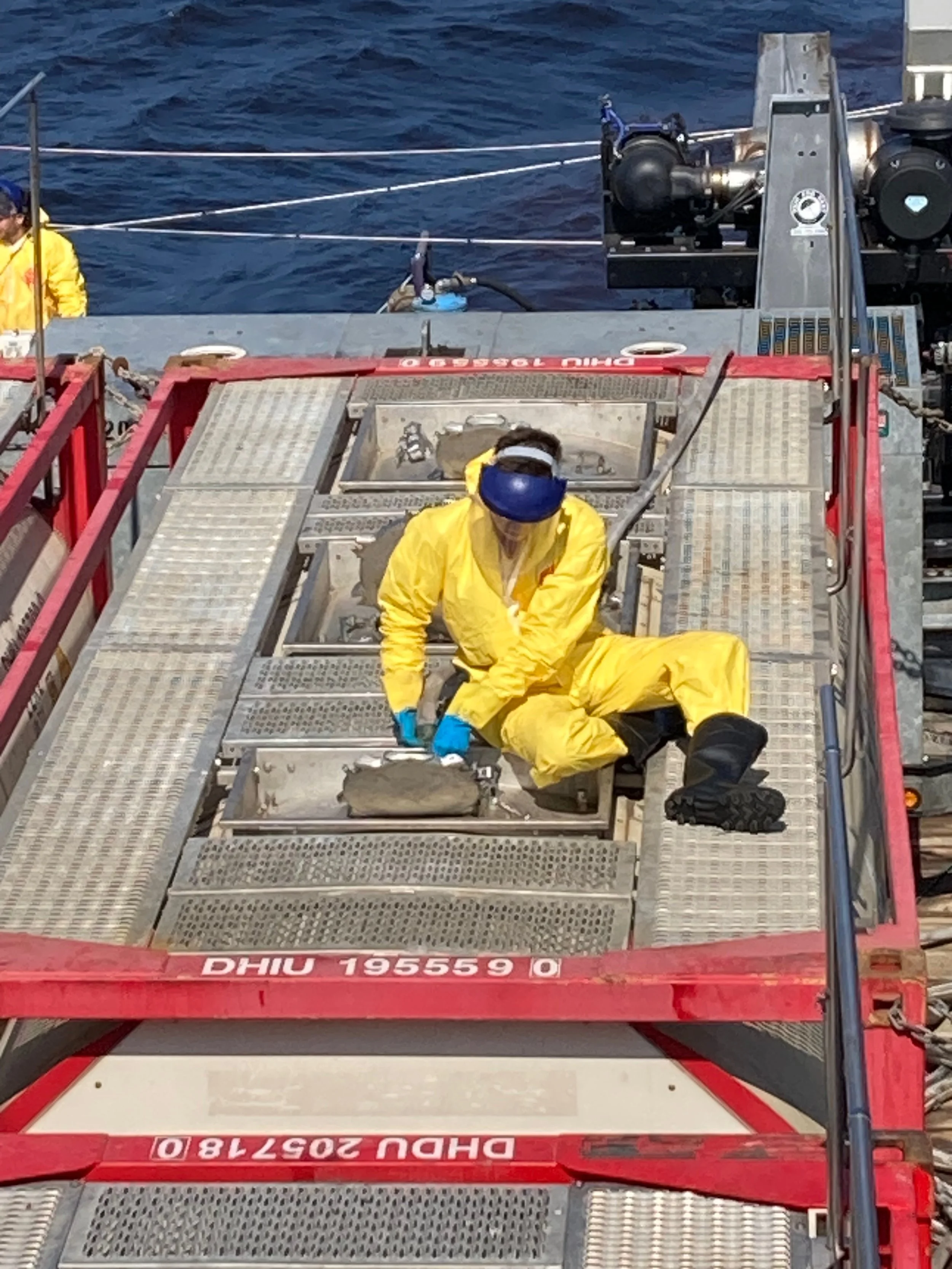
The EPA monitor and protected species observers perched on the top deck with cameras and binoculars. One of the Fluechem employees was there too, prepared to relay any information between the bridge and his coworkers, who were suiting up in PPE on the deck below and getting ready to ensure that the sodium hydroxide flowed smoothly and safely out of four ISO tank containers and into the pipework designed by the WHOI team.
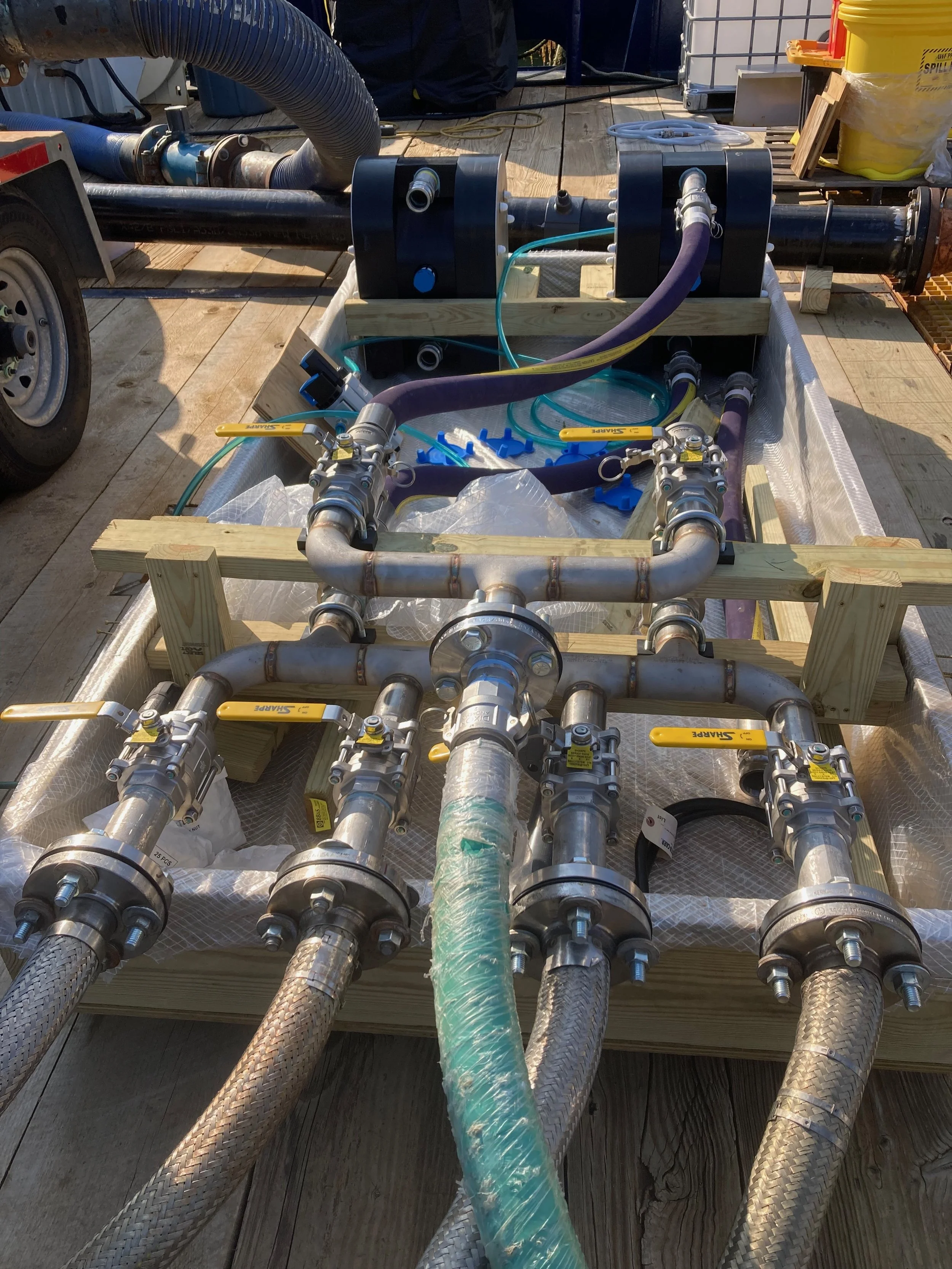
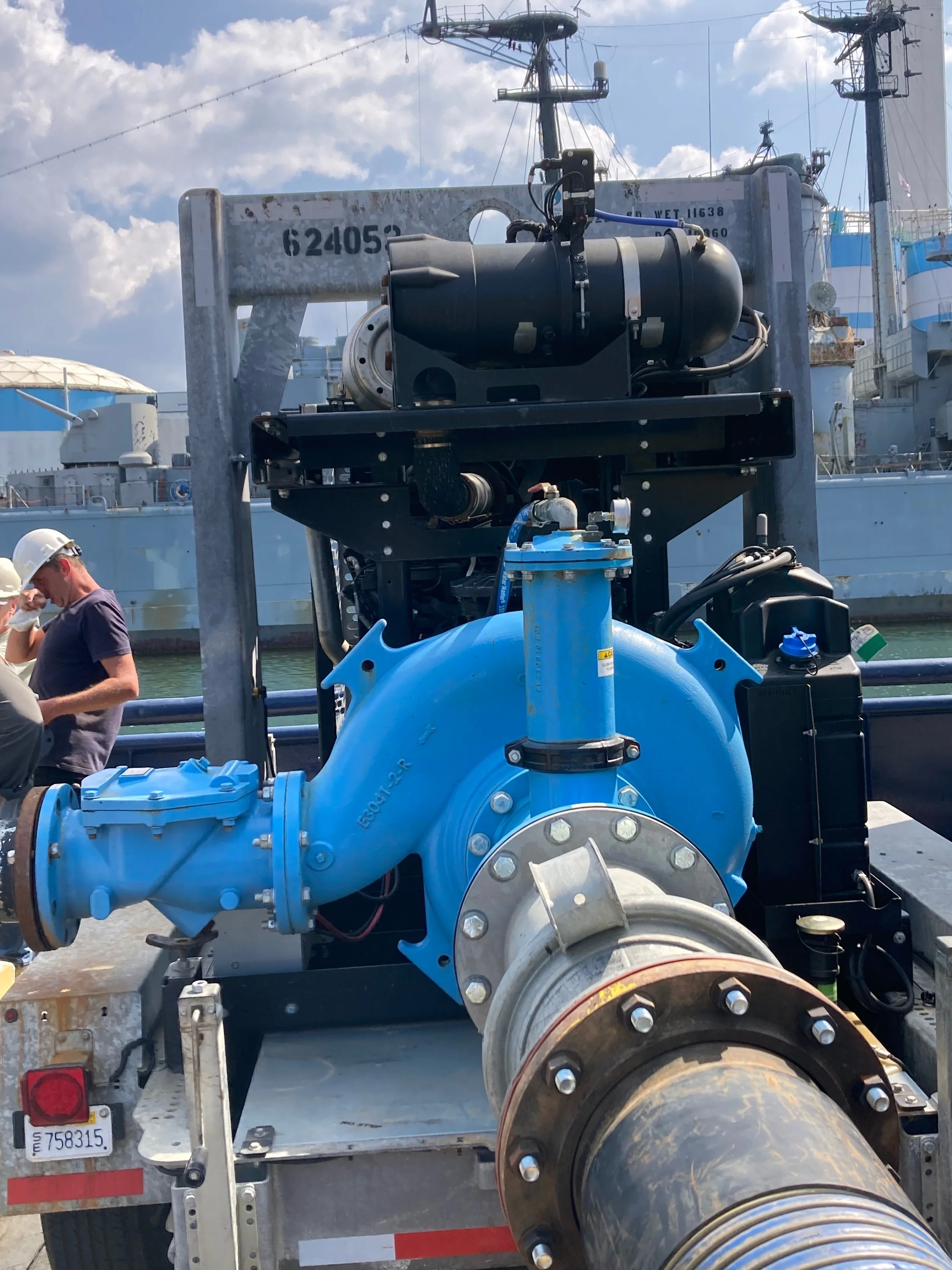
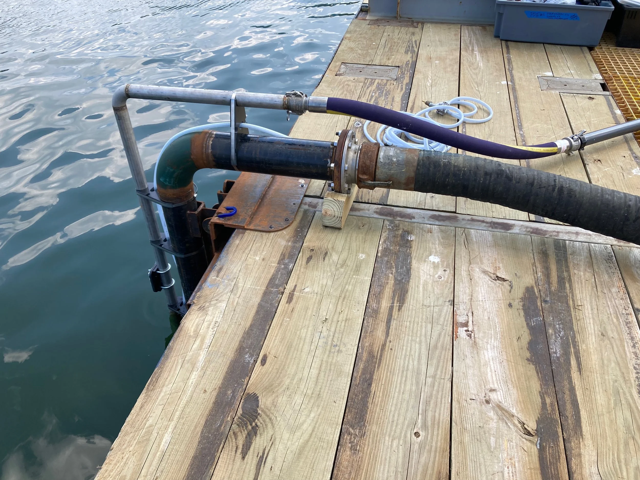
On the back deck, WHOI engineers Fran Elder and Nick Ellis had the job of monitoring flowmeters. The system they had set up two days before involved three separate flows: a finely calibrated pneumatic pump affixed to a manifold, for moving a 50% sodium hydroxide solution out of the ISO tanks through a network of 2” stainless tubes; an IBC tote containing 20% rhodamine water tracer dye (necessary for visualizing the solution once released into the environment) and equipped with an 110-volt pump and a clear 1” garden hose; and a 100-horsepower diesel-powered pump to move seawater from the side of the vessel to the stern of the vessel to enhance the mixing of the combined solution into ocean waters.
All three flows converged in a “snorkel” mounted on the transom, which was lowered to a depth of one to two meters below the waterline. At the end of the snorkel was an outflow nozzle, where the combined solution of saltwater, sodium hydroxide, and rhodamine tracer dye would soon be injected into the surface waters of the Gulf of Maine.
Painting the ocean red
At 9:00 am, the scientists on the R/V Connecticut radioed the OSV Mahoney and gave the go-ahead to start doing the thing that we were there to do: disperse 16,500 gallons of red-dyed sodium hydroxide into ocean water. Fran and Nick activated the pumps and flowmeters, and a feeling of anticipation gripped all those aboard both vessels.
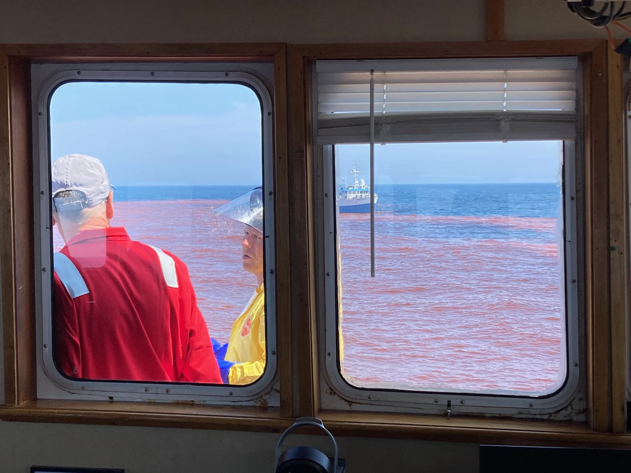
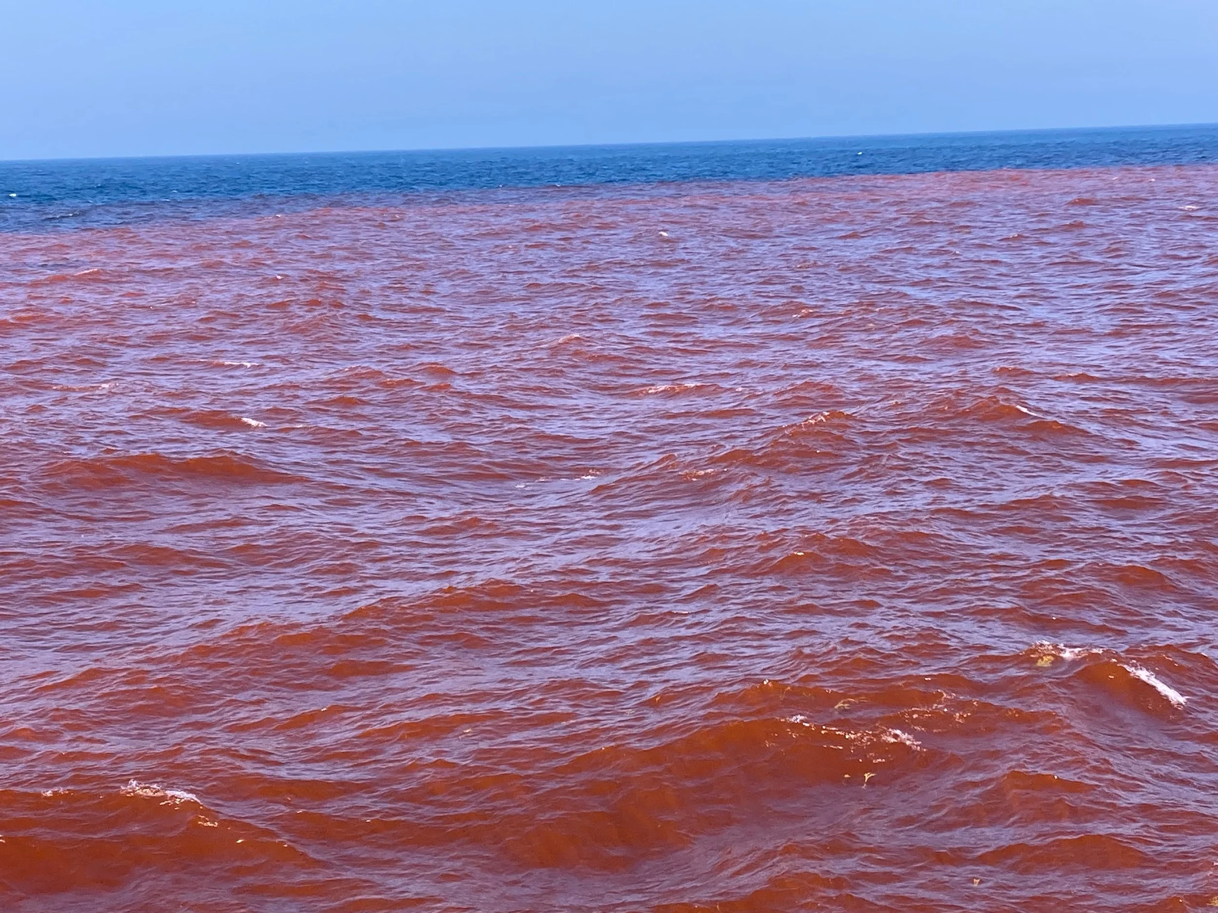
Peering out from the top deck, I beheld a striking shot of magenta surge out of the “snorkel” and pierce the ultramarine surface of the Gulf of Maine. Under Captain Justin’s skilled hand, the OSV Mahoney began idling in circles around the initial point of release. Over the next few hours, he slowly expanded his orbit as he created a red, alkaline patch measuring 800 meters in diameter.
The R/V Connecticut trailed 200 meters behind, picking up information about the surface water’s pH and fluorescence (an indicator of the concentration of rhodamine tracer dye). On the OSV Mahoney’s bridge, a live-stream of these measurements appeared on engineer Tom’s laptop, enabling him to instantly spot any increases in pH levels above the EPA-approved thresholds of 8.7 or 10 parts per million (if exceeded, each threshold would trigger a distinct corrective action). As outlined in the research plan and permit, the entire release could take as little as four hours or as many as twelve, with flow rates dictated by the need to remain under the two-tiered pH thresholds to avoid potential harm to marine life.
About four hours into the release, the livestream data dashboard on Tom’s computer showed a small spike in pH, exceeding the 8.7 pH threshold by a hair. After consulting with the science team on the R/V Connecticut, Tom instructed the back deck crew to dial down the flow rate by 50%, as stipulated in the permit. This corrective action would extend the dispersal activity by a few hours, but still well within the twelve-hour maximum allowed by the EPA.
The weather was beautiful – clear and sunny, with a gentle breeze. As we orbited the patch again and again, we settled into a pleasant rhythm. The back deck crew, perspiring inside their PPE and laser-focused on their flowmeters, may not have felt so relaxed. But for me, accustomed to rushing around doing deckhand duties on a fishing boat, this was an awfully easy way to be on the water.
I wasn’t the only one lolling about in this red sea. At one point, a blue shark zigzagged back and forth beneath the boat. Soon after, an ocean sunfish flopped and basked for a while in the patch.
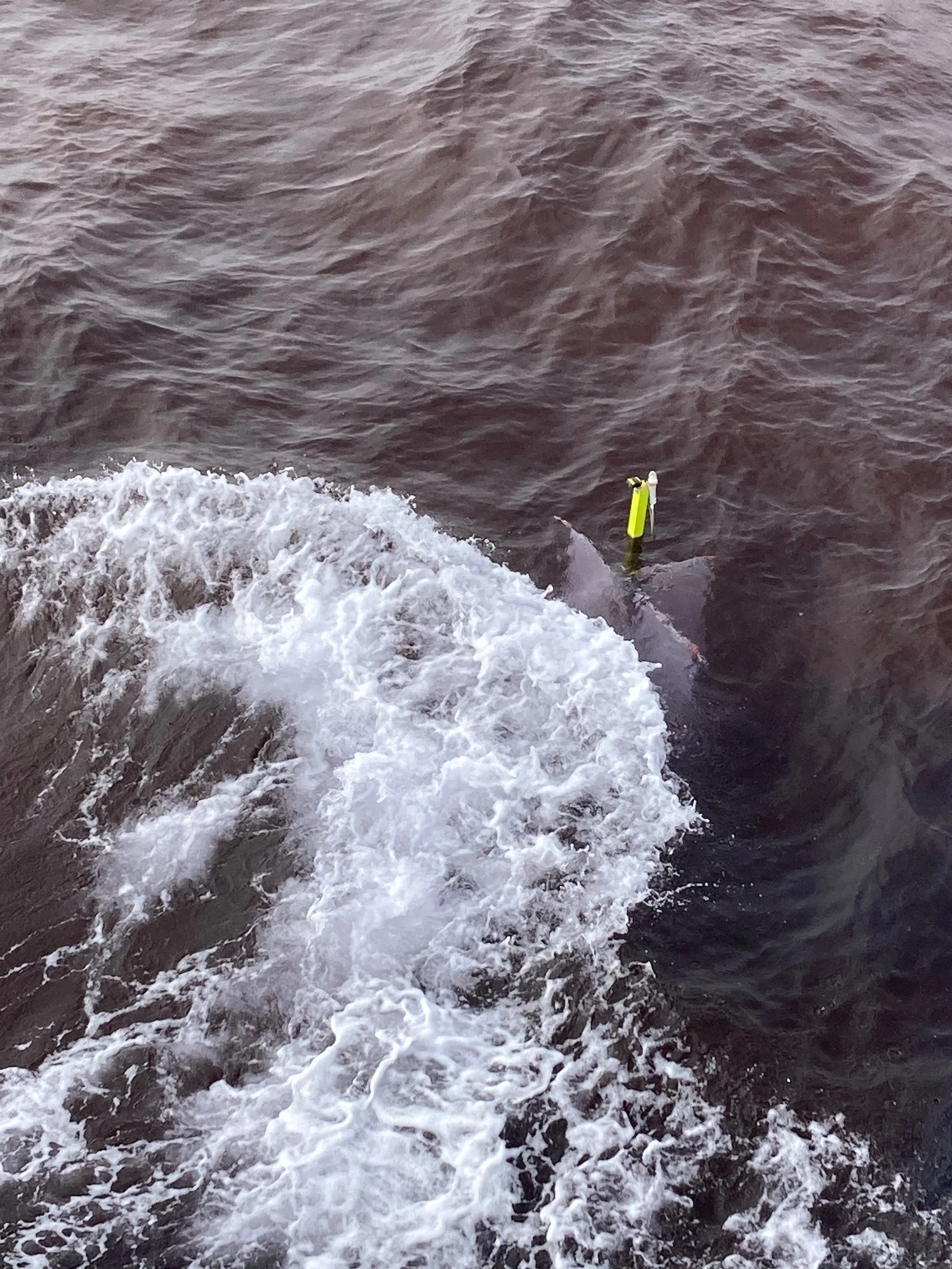
Every now and then as we circled, we’d pass a drifter buoy. These buoys have underwater sails that keep them pinned to the mass of water they are dropped in, even as currents move this water from its original location. Equipped with GPS beacons, the drifters’ role is to make it possible for the science team to track the patch’s location even after the rhodamine tracer dye had ceased to be visible.
The crimson color of the patch became even more intense as we retraced our circles to fill in gaps. The experience began to feel less like a like science experiment led by scientists at WHOI and more akin to a landscape-scale art installation like those fashioned by famed artists Christo and Jeanne-Claude.
Climbing into the bridge and wiping the sleep from his eyes, the mate who had led us to this spot the night before looked out at the day shift’s accomplishment.
“We painted the ocean red!” he exclaimed.
I recalled my earlier conversation with Dean on the F/V Oceana, and thought to myself: maybe this trip has some slightly psychedelic qualities, after all.
Mission accomplished
At 3:00 pm, the back deck radioed the bridge to announce that the flow rate of the sodium hydroxide had suddenly dropped. The Fluechem crew rushed to the scene to ascertain the reason, which turned out to be simple: the tanks were running dry. Six hours into the day, the trial was complete: the OSV Mahoney had released 16,500 gallons of alkalinity in the Gulf of Maine.
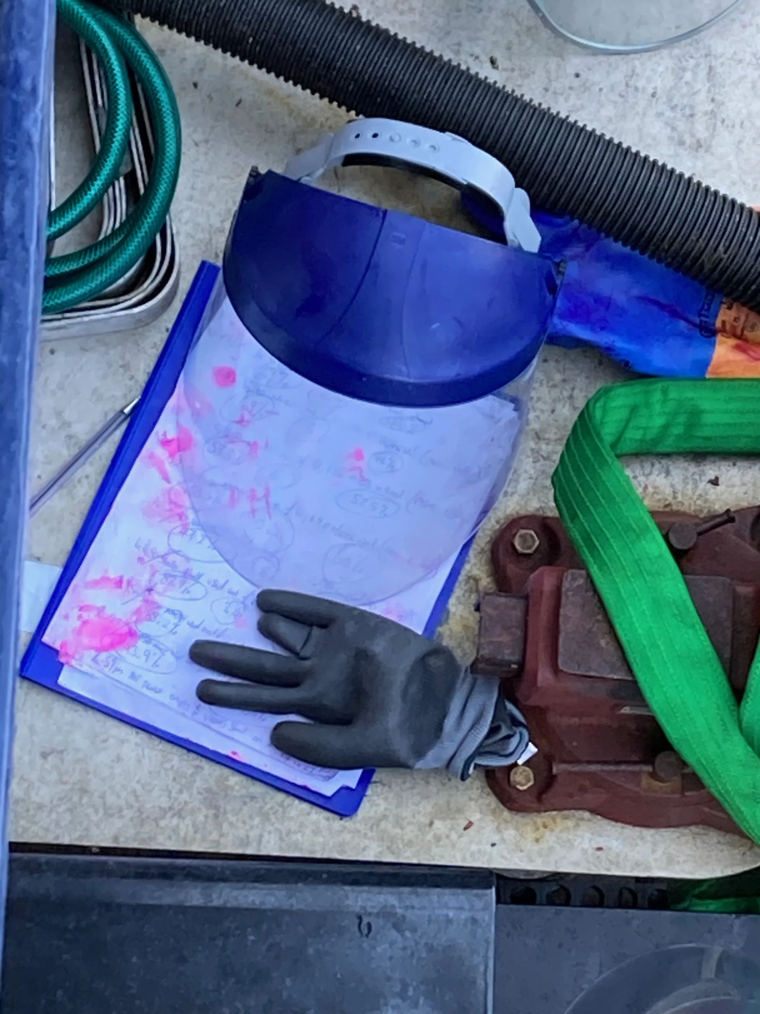
The snorkel and seawater hose were lifted out of the water column. The Fluechem crew used a deck hose to flush out the remaining trickle of sodium hydroxide from the ISO tanks. Fran and Nick, still manning the back deck, packed up their flow meters, stripped off their PPE, and gave each other a fist bump. Nick, who had been testing rhodamine levels with a dipstick throughout the day, had bright pink hands.
As I came inside, I crossed paths with Tom, who was about to store his laptop and binder in his bunk to join his coworkers on deck. I congratulated him on the day’s events, and he replied with a sigh of relief, “It only took a year and a half of planning to get this day right!”
The OSV Mahoney’s job was done, and we returned to Quincy that night. But the R/V Connecticut stayed with the patch for four more days, and WHOI’s autonomous underwater gliders remained adrift in the area for another week after that.
It will take many months for the WHOI team to analyze all of the data they have collected, but lead researcher Adam Subhas offered a sneak preview in a mass email on August 17, saying that the treated patch of water had returned to normal pH levels between four and five days after the sodium hydroxide release, that no protected species had been spotted during the dispersal, and that “our shipboard data is confirming the initial hypothesis of no significant environmental impacts.”
Subhas added:
What’s more, our early data clearly shows that we successfully and safely enhanced the alkalinity of the surface ocean, resulting in a small increase in pH and driving carbon dioxide from the atmosphere into the seawater patch that we tracked through time. We’ll be digging into the data in the coming months and sharing results as the analysis proceeds. Our goal remains what it’s always been: to provide independent, transparent research that helps determine whether OAE could safely play a role in climate response.
A proposed role for fishing industry observers in mCDR field trials
Many fishing vessels are required to take scientifically-trained fisheries observers along on trips to collect data on their catch and bycatch. In joining the OSV Mahoney’s journey as a fishing industry observer, I was undertaking a role reversal, hoping to set a precedent for a position that should become standard in all mCDR field trials.
mCDR is a new set of climate solutions that are currently at the research and development stage of their evolution. If this field expands, we fishermen will undoubtedly find ourselves on the front lines of any negative or positive impacts that may result from these projects. Designating a fishing industry observer to witness each mCDR field trial up close is a straightforward step that we as an industry can take to support transparency and to build our own literacy in these novel methods as they unfold.
It’s important that the fishing industry observer commit to relaying his or her field notes to fishermen far and wide so that the entire fleet has access to the knowledge he or she gains. It’s also important that fishing industry observers be compensated for their role, just as at-sea scientific monitors are, provided that this exchange of funds must not skew the observer’s view of the project in any way.
Hosting a fishing industry observer on board a field trial should not be the first or last step that an mCDR project team takes to engage the fishing industry. In a series of roundtables hosted earlier this year by the Fishery Friendly Climate Action Campaign and Responsible Offshore Development Alliance, fishermen from Alaska, the West Coast, and New England agreed that engagement of the fishing community should start as early as possible during the research design phase and continue all the way through to data analysis. The LOC-NESS team seems to understand that, and their move to accommodate (and compensate) me as a fishing industry observer on the OSV Mahoney was only the most recent piece of a multi-year fisheries engagement strategy that has also included a number of port workshops, trade show interactions, presentations to the New England Fisheries Management Council, and engagement of state and interstate fisheries management entities.
As future mCDR field trials get underway, I hope that their research team leads will follow the LOC-NESS example, by inviting a fisherman or industry representative to take part as an observer. I look forward to reading the field notes that future observers’ share with the industry!


